

Process
From title deed to carbon credit
A carbon sink project starts with soil analysis on the day the decision is made and runs for 20 years. Each step produces the record that lets the next one be measured.
Starting point
Why does it start with soil analysis?
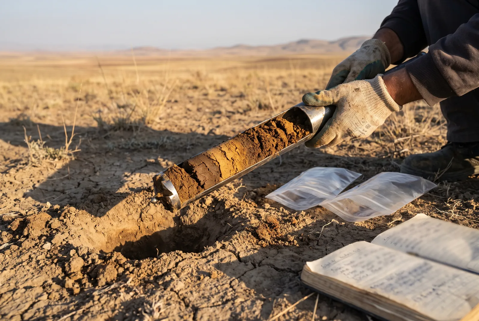
The carbon account rests on the soil’s baseline carbon stock and on which species can grow in it. This analysis is the most expensive first step, but it is also the reference point for the feasibility study and every measurement that follows.
- Decision
Initial assessment
Parcel details, ownership and land classification are reviewed. Land classified as forest is ruled out at this stage.
- Soil
Soil analysis and feasibility
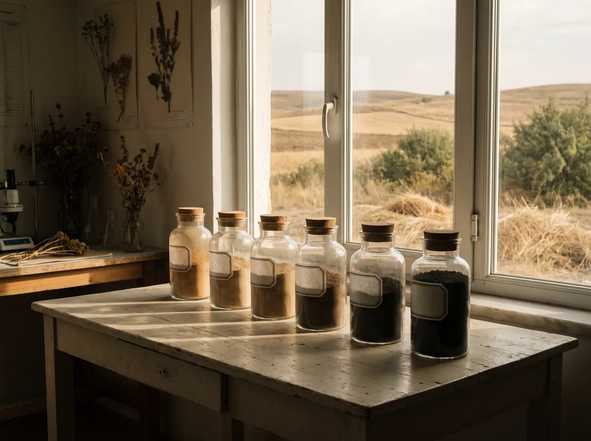
The project begins with laboratory analysis of samples taken on site. Baseline carbon stock, species selection and the project’s 20-year carbon potential are calculated from this data.
- Land
Purchase or lease
If feasibility is positive, the land is brought into the project on terms that fit its ownership: purchase or long-term lease for private land, lease for treasury and foundation land.
- Planting
Establishing the forest
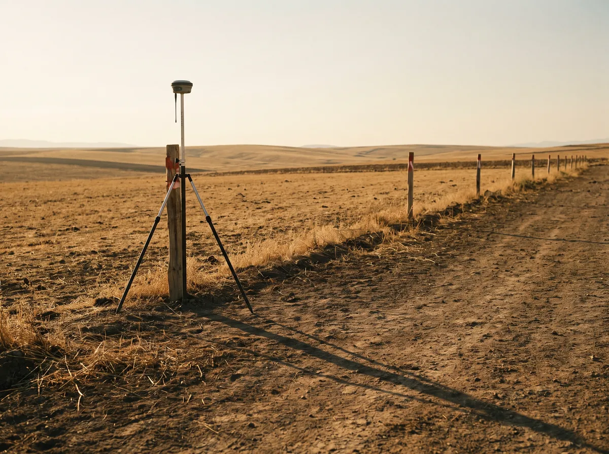
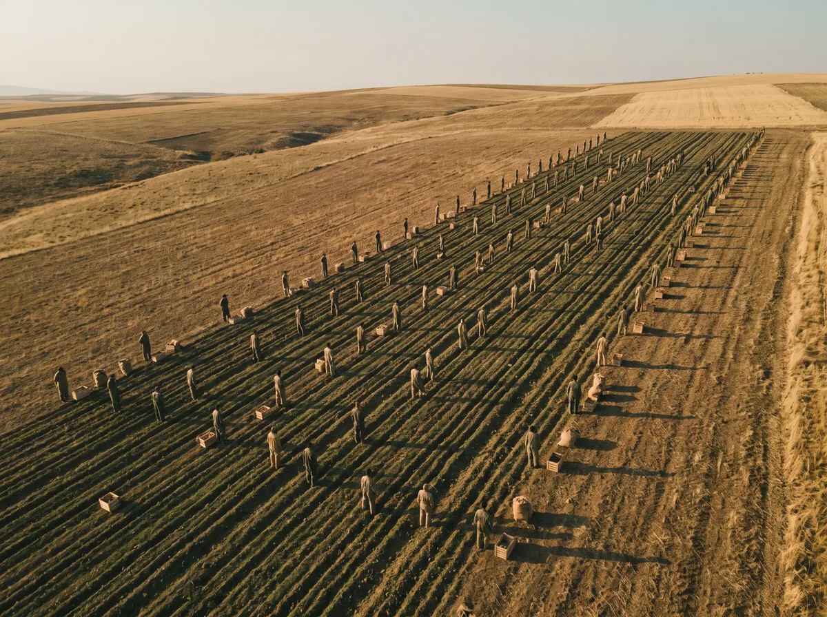
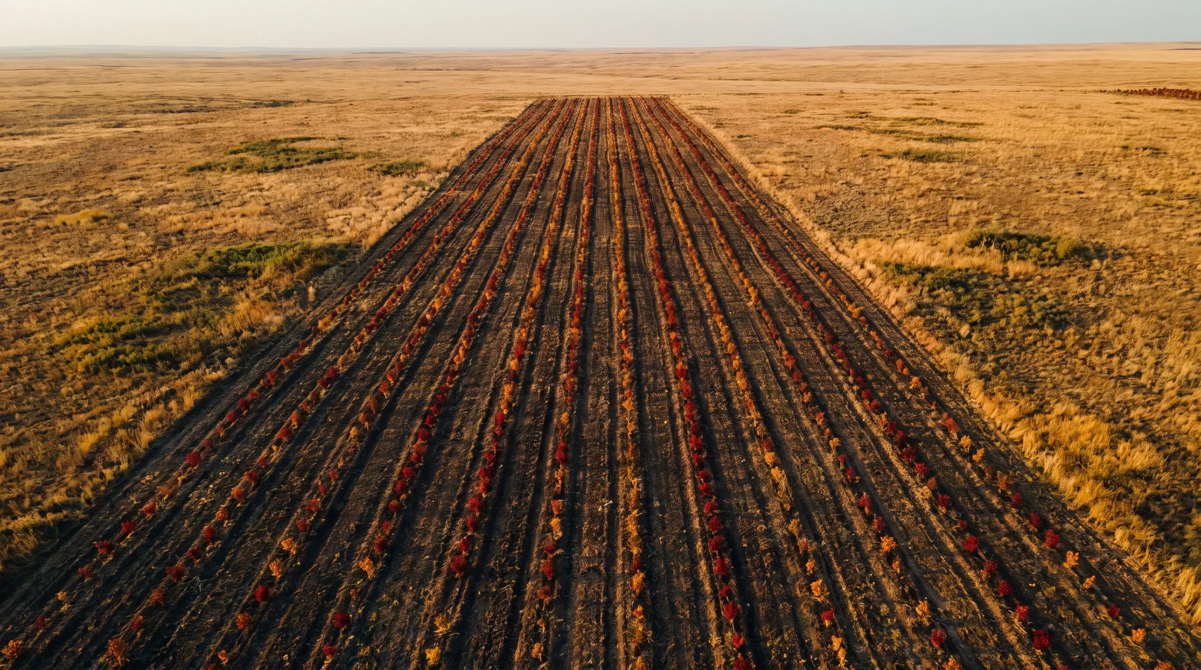
Skytech Green field crews carry out sapling planting and seeding. Every planting point is recorded with its coordinates.
- Measurement
Aerial monitoring
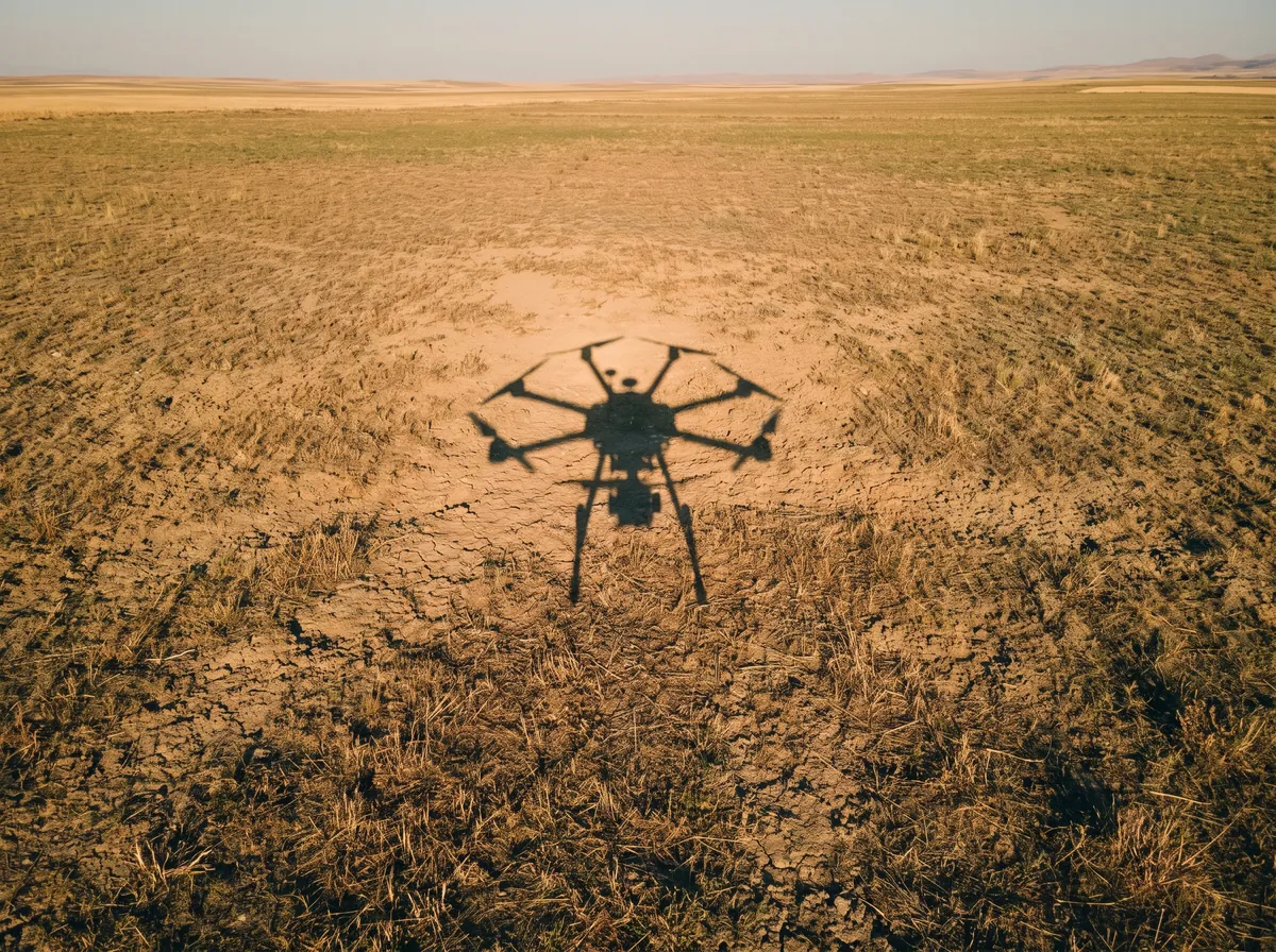
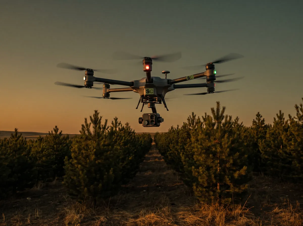
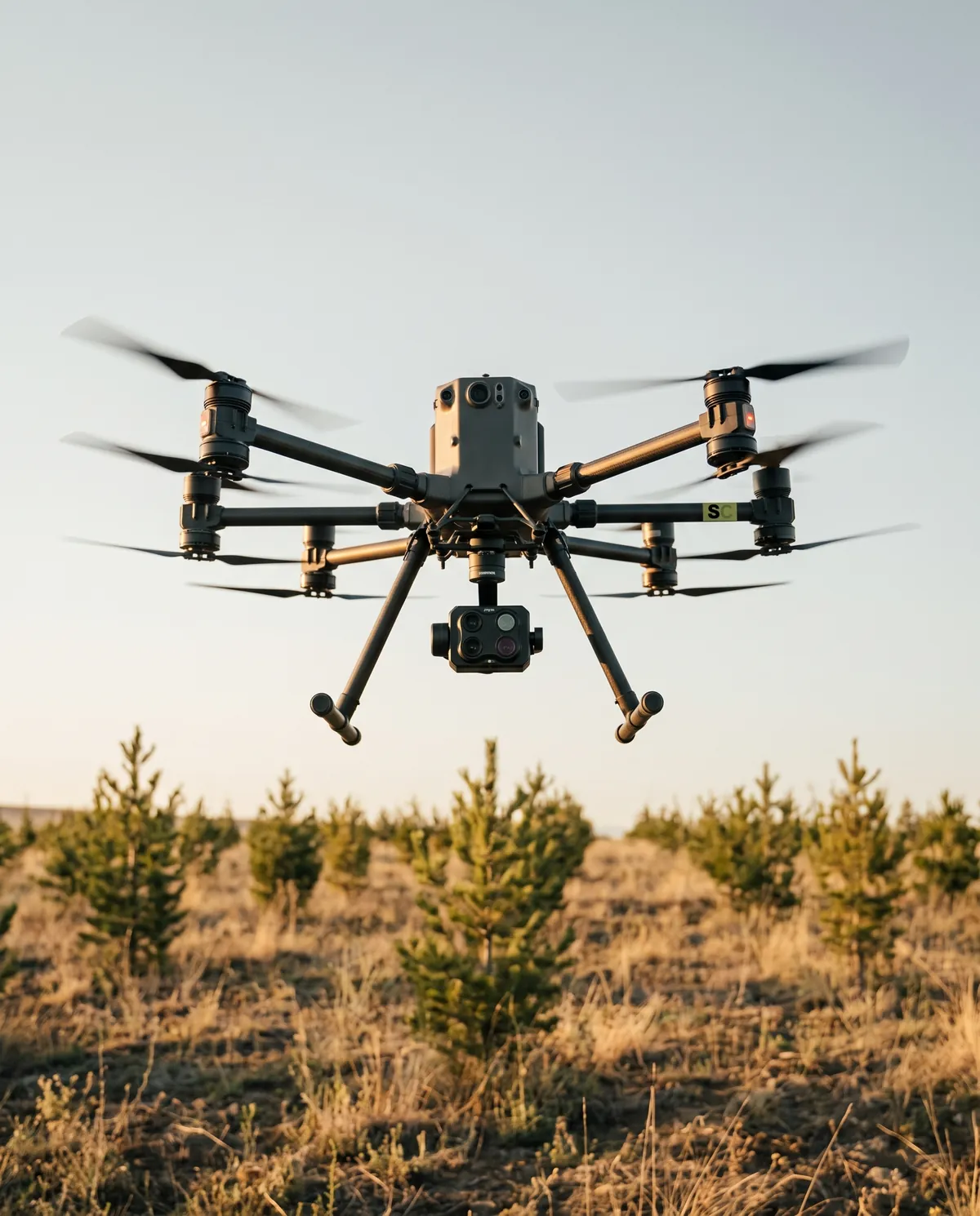
The Skytech Havacılık fleet flies the site at regular intervals; surviving sapling counts, growth and biomass gain are calculated from the imagery.
- Certificate
Verification and issuance
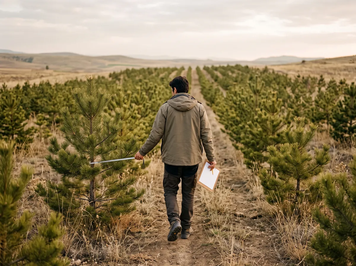
Measurement data is reported against the methodologies of international standards such as Verra (VCS) and Gold Standard and independently audited.
- Market
Selling the carbon
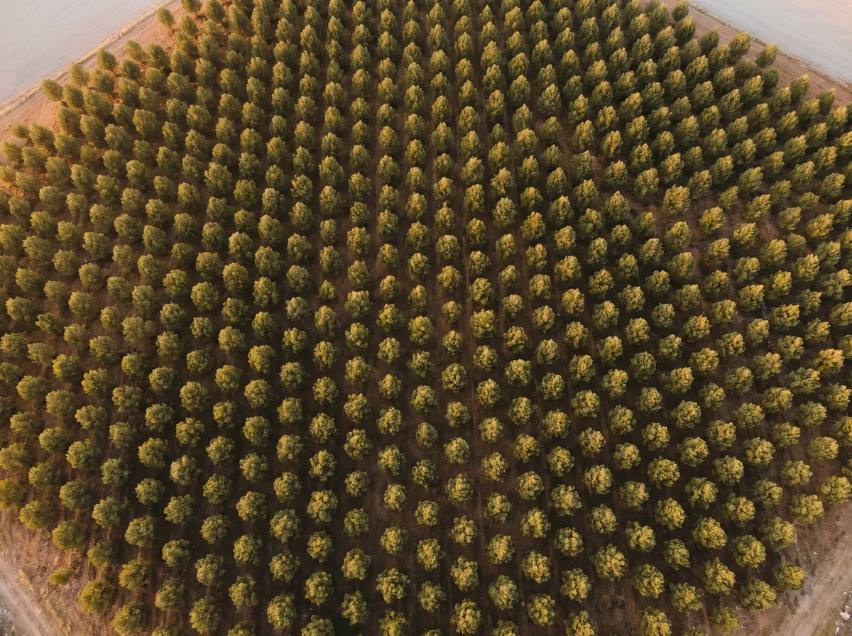
Verified carbon credits are sold on the international carbon market to companies that must offset their emissions.
- Year 20
Planned harvest
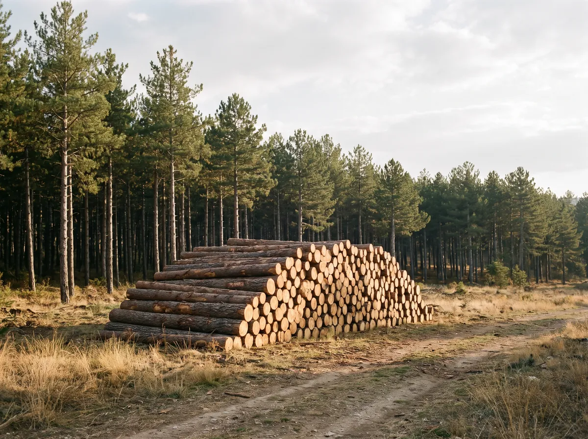
At the end of the project term a planned harvest takes place; timber is the model’s second revenue stream.
Measurement
Carbon is only worth what can be measured
Measurement, reporting and verification are the backbone of a carbon project. The Skytech Havacılık fleet extends sample measurements taken on the ground across the whole site with data collected from the air.
- Position
- RTK-assisted mapping to ±2.5 cm; every planting point recorded by coordinates
- Imagery
- Multispectral imaging for plant health and surviving sapling counts
- Growth
- Recurring flights tracking height, crown and biomass gain
- Ground
- Field measurements on sample plots to calibrate the aerial data
Model
Twenty years of one site
As the forest grows, the carbon it binds becomes credits at each verification period and is sold. At the end of the term a planned harvest adds a second revenue stream. Most of the cost falls in the establishment years.
350 ha model project · pre-feasibility
- Establishment and operating cost
- 3,7million $
- 20-year carbon revenue
- 26million $
- End-of-term harvest revenue
- 13million $
- Total gross revenue
- ≈ 39million $
Figures are estimates from a pre-feasibility study and vary with the land, species mix, regulation and carbon price. Not investment advice.
Contact
Let’s start with the parcel details
Share your land’s location and title details; we will make an initial assessment and plan the next step with you.